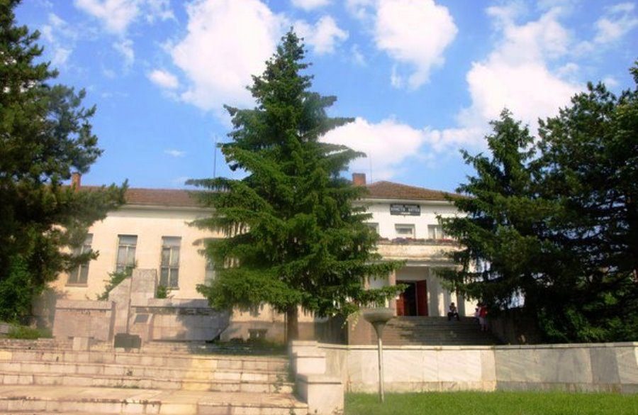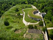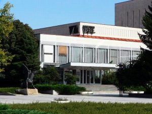


Zafirovo Village – History Museum is the only one in Glavinitsa City. Built in 1987 on the community management initiative. It is a one-storey building in Roman style. The historical museum systematizes the information about the most important historical objects and events in the region. It is managed by Zafirovo.
City Hall. In the first room are displayed the tools, the historical map made by the german professor Haze. This map describes the roman provinces, a roman road near the Danube and remains of the Thracian heaps between the villages Sokol and Zafirovo. In the second room of the museum are displayed wood and house hold tools, ceramics, different textiles for home use, pillows, towels and different elements of clothing both for males and females.
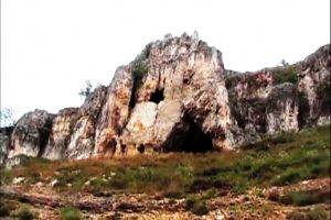
The ceramics fragments originate from Preslavets – a neolitical establishment from 6000 BC.
In the museum one can admire jewelleries and ancient Bulgarian arrows dating from 7-9th centuries also found in Malak Preslavets. Another exhibition is the Thracian funerary urn with remains of human bones dating from 6-4 centuries BC which was found in Zafirovo village. One of the most authentic objects exposed is a barduk used for the storage and serving of the wine and brandy. A lot of tools from the daily life of a Bulgarian house wife are kept also. These are: Grebenets serving for wool carding; chakrak, used for wool spinning, chakrak, combined with the tow for making the filaments and as a support for the spindle. There are also displayed traditional costumes from Dobrudja part of them of Romanian influence.
Three maps are stored on a tripod. One was made in 1782 by the Austrian Captain Lauter and marked villages Oryava (s. Dolno Ryahovo) and Kadakioy (s. Malak Preslavets). A second map is made by French Reich in 1791 and is a vision over the villages Kosuy (s. Kossara) and Oryava (s. Dolno Ryahovo). On the third map is represented at north – eastern Bulgaria during the Russo-Turkish War of 1828-1829. On this map Malak Preslavets and Dolno Ryahovo villages are marked as ports. The museum has kept some of the personal documents of Rusan Petkov, Corporal Pencho Penev Petrov and Dimitar Papazov Velikov. They were all participants in the Second World War. Here are numerous photos from the establishing of a cooperative, groups of emulation, socialist amateurs at the library and pictures of soccer teams.