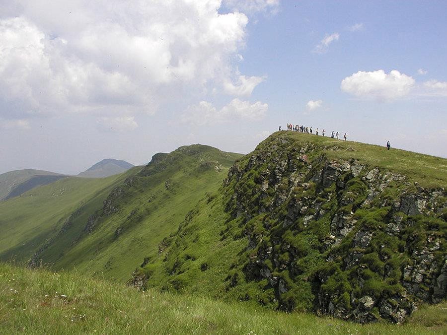

The height Vrashka is withdrawn in northwestern Bulgaria in the foreground to the west, between Vidin and Serbia.
Vrashka isolated height rises in the western part the front part and lies on the border with Serbia between border crossing points 403 and 410. From north to south of the state border the height is divided into two parts, to the southeast is the largest part and the smallest part enters on Bulgarian territory. The bottom which is larger in size – is on Serbian territory. The peak consists mainly of Jurassic limestone. has steep slopes in all directions, to the south through a small saddle (450 m) associated with Babin Nas and to the north the saddle Vrashka (367 meters) separates the peak from the Baci flat basin.The length of the height from northwest to southeast is 3 km and the width – 1-1.2 km. The maximum height is Mount Vrashka (692 meters), which rises over 300 meters above the surrounding flat lands. The hill is covered with low bushes and forests and the highest peaks are empty and the bottom is farmland.
To the north of the height, in the saddle Vrashka at the checkpoint “Vrashka ‘goes a secondary road II-14 from Vidin in Kula, to the Serbian town of Zajecar, which is located 11 km west of the saddle.
In the northwest foot of height, on Serbian territory, is emerging a coal deposit.
